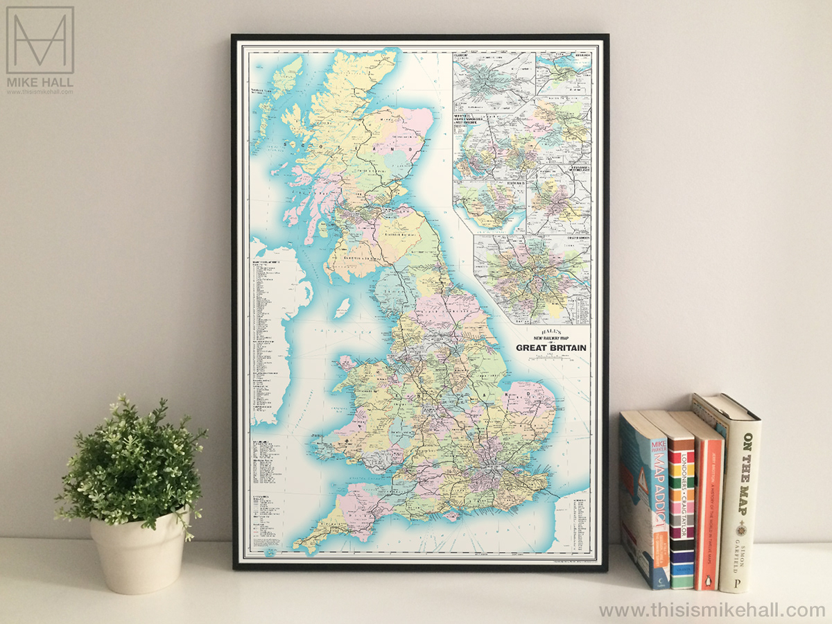
Railway Map of Great Britain (2022)
A comprehensive and geographically accurate map of the present-day main line railway network in Great Britain, designed in a retro mid-20th century style and showing the majority of intercity, regional and commuter lines, heritage railways, the locations of most stations and high-speed lines under construction (as of June 2022).
Prints of this design are now available to preorder from my online store.
N.B. Some lines and stations have been deliberately omitted due to space constraints; this map is intended to show main line railways only, and metro systems and other rapid transit networks in individual cities (e.g. London Underground, Manchester Metrolink, Tyne & Wear Metro etc.) are not shown.


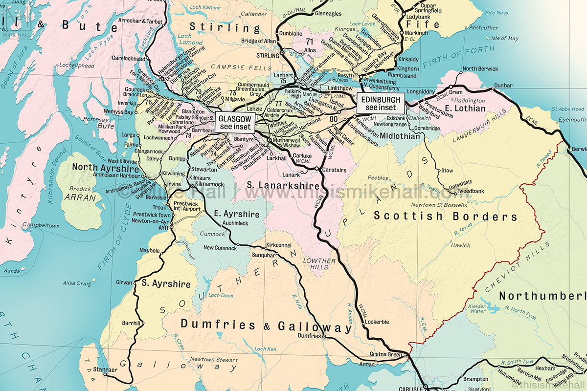
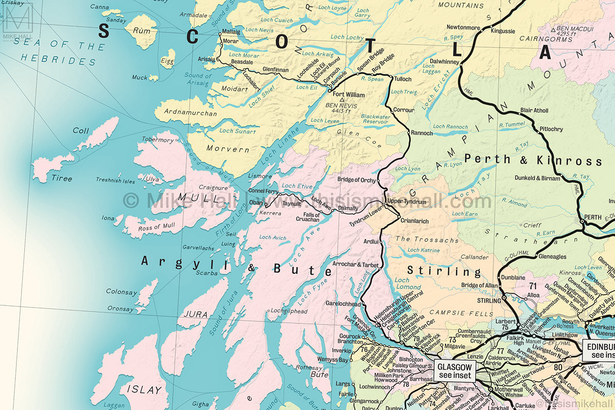


Detail of the Glasgow and Edinburgh region enlargements.

Detail of the Merseyside, Greater Manchester and West Yorkshire region enlargement.

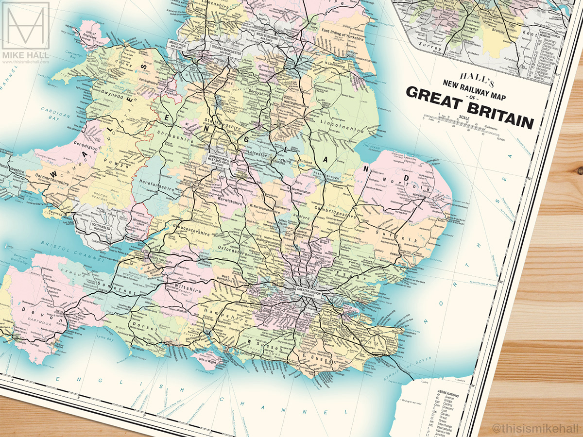
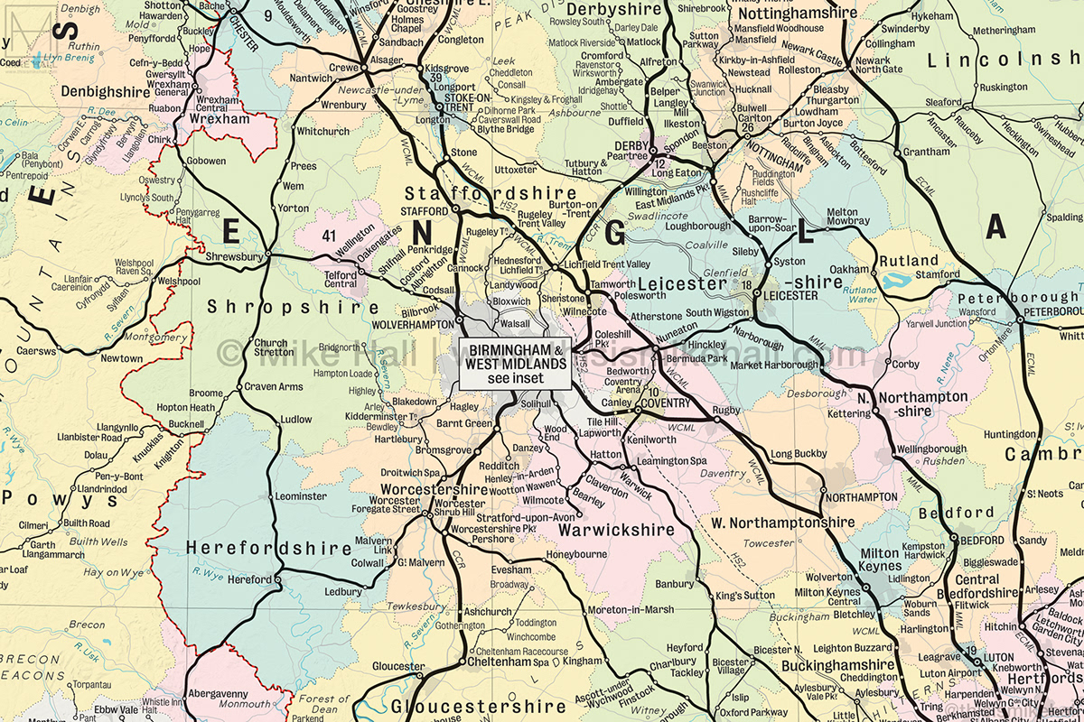
Detail of the South Wales and West Midlands region enlargements.

Detail of the Greater London region enlargement.
This is an original self-initiated project drawn entirely using Adobe Illustrator.
Fonts used: Bureau Grotesque and BellTopo Sans by Sarah Bell (@sarahbellmaps)
Reference sources: OpenRailwayMap, OpenStreetMap, Ordnance Survey, ProjectMapping.co.uk, RailMapOnline.com, Wikipedia
Contains Ordnance Survey data © Crown Copyright and database right, 2022