


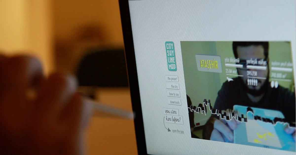
City Skyline Map is an interactive documentation of Istanbul silhouettes collected from different “developing” locations within the city. The project is a combination of the real map and interactive visuals created in the computer environment based on technology called augmented reality. The user is able to carry the map anywhere but the silhouettes of the city are only seen through a website and a webcam.
The project was exhibited in Amber Art & Technology Festival 'Did You Plug In?' in November 2013 and Fass Art Gallery in June 2013. The website is not published online yet.
* the map
Rather than being in the form of a classical foldable map, the usage of the map requires card-like pieces in order to maintain practicality. Each card has two different printed sides. On the one side there is the map covering the chosen district. On this map yellow dots correspond to the skyscrapers, as being the highest buildings attacking to the city silhouettes. The binoculars correspond to the location where you can stand and observe that particular skyline. On the back of each map card, the user is able to see various numerical informations about the district.


* the markers

* the interface

*the posters


* teaser
Music by Four Tet


